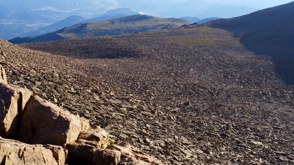
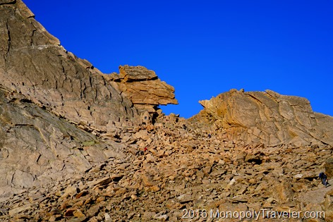
Now at the Boulder Field Campsite we were able to take in some of the surroundings, enjoy a little camaraderie with other hikers attempting to do the same thing, and use toilets in preparation for the next portion of our morning hike. (To catch up with our journey thus far click here to read the previous story.) It was noticeable how much colder the air was here. Even though we were almost the same elevation as the top of Flattop Mountain it seemed much colder to the point of being able to see our breath from time to time. Fortunately the sun was quickly warming us up. While studying the boulder field it became obvious that these boulders filled in the keyhole and more at one time. What natural event occurred causing this part of the mountain to crumble forcing all these large pieces of rock to fall making a river of boulders and leaving this keyhole? Was it ice, an earthquake, or something else?
As I scanned around I kept wondering how can the remaining portion of this hike to the summit be all that difficult? It didn’t appear to be all that long distance wise or a great elevation change from the boulder field. Of course elevation is a major factor for those of us not use to it. After 15 minutes or so we decided to continue on towards the Keyhole. There were several other hikers that climbed up ahead of us providing information on the climb we were about to do. Watching from a little distance it appeared they were going up fairly slow and taking their time. I’ve climbed over rocks before and it doesn’t take that long to continue upward.
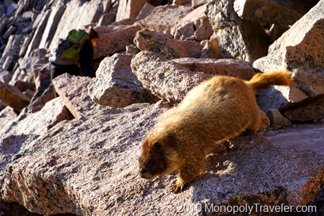
We decided to pack our trekking poles away as they weren’t likely to be much help on the boulder terrain and lifted the packs back onto our backs ready to continue. For this section of the hike on Longs you are basically boulder hopping. Stepping towards the next boulder hoping it’s stable while making your way increasingly higher. At least that’s the plan as it’s easy to just stay at your current altitude and just go sideways if not paying attention. Quickly you begin to realize the altitude makes things increasingly difficult simply because the thinner air causes problems getting enough oxygen to breath normally. It feels like you are running and out of breath after a short time slowing down the pace. Now it makes sense why the hikers ahead of us appeared to go so slowly up into the keyhole. In addition, the higher you go the larger the boulders get and the steeper the incline gets. Looking at the photo above you see a marmot that seemed to want to get pet. In the background is a good comparison of the boulder size next to a hiker.
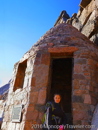
Getting closer to the keyhole we reached the Agnes Wolcott Vaille built as a place of protection from storms for those attempting to reach the top of Longs Peak. Finally almost there! A few minutes exploring this shelter and it was to the keyhole to view out over the Rocky Mountains. We’ve reached the main goal of this adventure – the Keyhole!
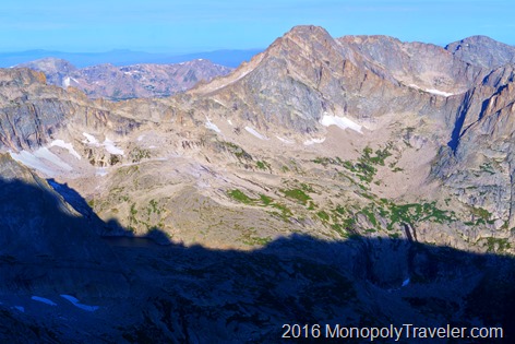
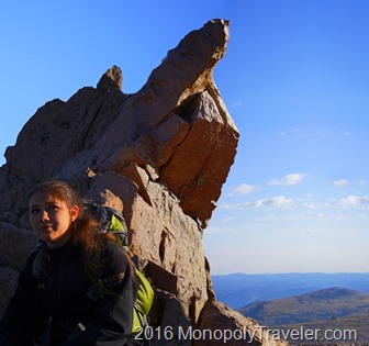
Many hikers ahead of us proclaimed the amazing views while perched among the slim layer of rocks forming this keyhole continuing to encourage those below to reach it. They were right about the incredible views sitting in this unique rock formation. From both sides of the keyhole the landscape humbled us with its beauty and vastness. We felt so small among these huge boulders forming large mountains. It seemed to take forever to climb from the campground into the keyhole but according to the timestamps on the photos taken it only took us about 20 minutes or so to complete. While sitting in the keyhole eating a Clifbar and drinking more water we examined the next portion of trail that would take us to the summit of Longs Peak if we felt up to the challenge. I think the expression on Lysa’s face in the picture below gives a good idea of our thoughts!

