Category Archives: Travel Blogs

A Philippine Virtual Vacation

Luzon March 2

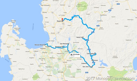
Recently I watched a World War II vet give a presentation on his involvement in retaking Luzon, Philippines from the Japanese. Being intrigued I decided to take a virtual vacation of the areas he described. These included landing on the beach in the Lingayen Gulf, marching through Binalonan, San Manuel to Lupao, San Jose City, Puncan, Carranglan, and ending in Santa Fe.

Virtual Philippines

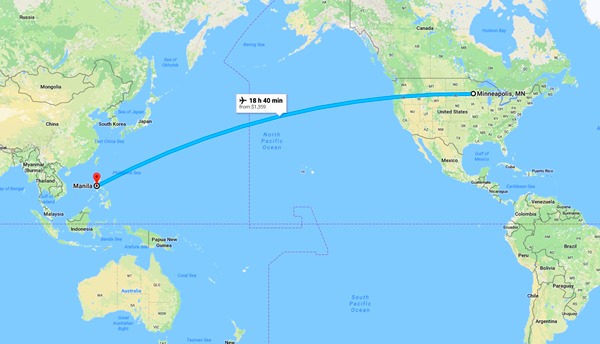
My virtual vacation began with a Google Earth flight from Minneapolis to Angeles, Philippines mid January which is currently priced around $1,000. In my research January and February are the best times to visit Luzon as it’s the coolest time of year and the driest. After spending almost a complete day flying I anticipate needed some time to rest so getting a hotel and something to eat would be the next piece of my virtual vacation. There seems to be a wide range of food options to try while there.

food

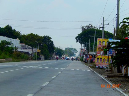
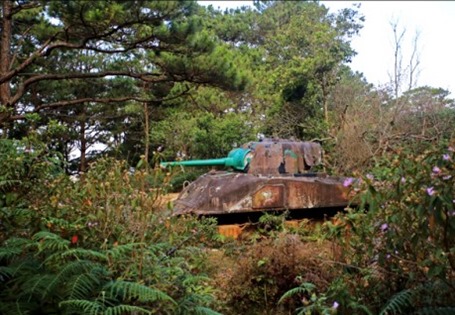
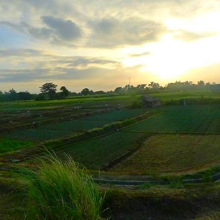
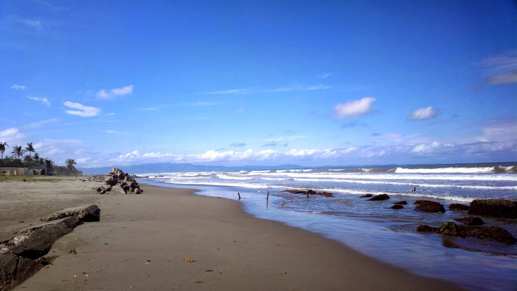
The next day begins the trip of re-tracing the steps of this World War II vet in the present day. Going from Bonuan Beach which is pictured at the top the first city is Binalonan. There appears to be signs of war yet today just rusting where it was left mixed in to places rebuilt and expanded to what Binalonan is now.

Binalonan 3

Binalonan tank

Moving on from Binalonan, the next destination is San Manuel. I wasn’t able to find much for photographs taken in this area so I continued on to Lupao. This looks like a beautiful area with some mountains, farm land, and a nice city.Lupao 1
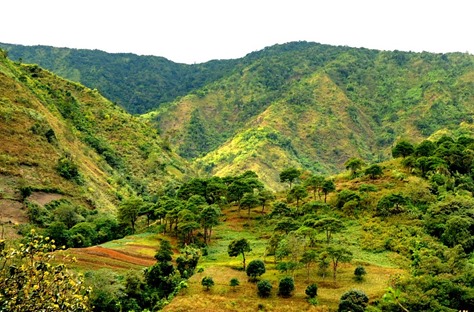
Lupao 2

Lupao 3

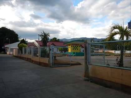
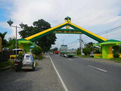
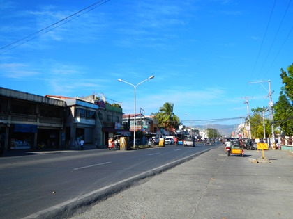
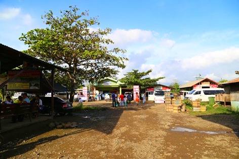
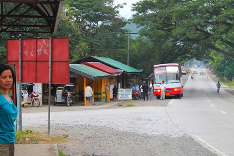
Nearby San Jose City is the next place on this tour re-tracing the steps of 75 years ago. This appears to be a nice city resting in the foothills of mountains which can be seen off in the distance of the second photo below. San Jose City looks like a nice spot to get acquainted with local culture among modernized buildings and vehicles. I can almost feel the warmth and humidity from the palm trees, moisture on the ground and clouds passing by. A nice break from winter weather in Minnesota.

San Jose City 3

San Jose City 2

San Jose City 1

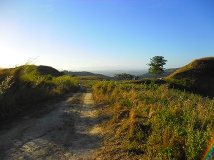
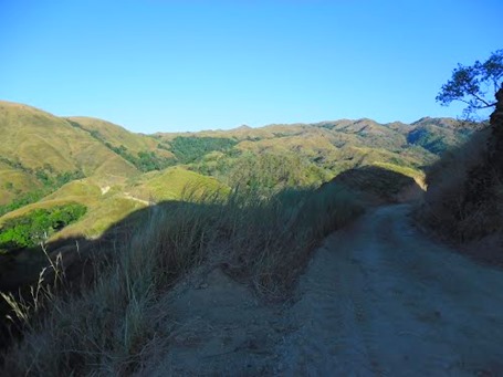
On towards the mountains stopping in the Puncan area. I didn’t see any pictures of a town or city, just a few photos of the countryside which looks amazing. The dirt roads in the photo below may indicate difficulty in traveling through this area without a vehicle capable of driving over rough roads. Most likely a less traveled area.

Puncan 1

Puncan 2

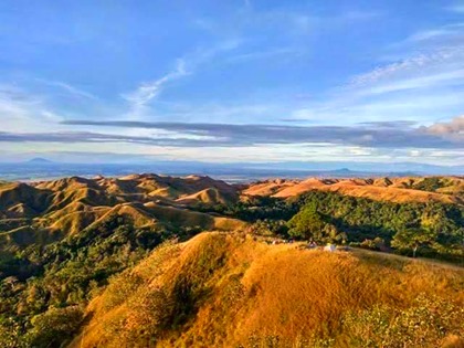
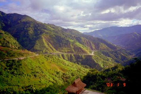
Traveling to nearby Carranglan brings similar landscapes and significantly less development than San Jose City. A beautiful and quiet area to relax in without all of the activity of higher populated areas.

Carranglan 1

Carranglan 3

Carranglan 4

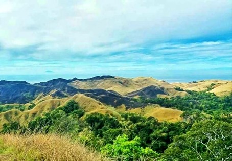
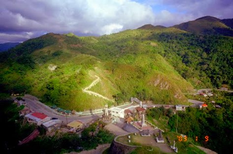
Santa Fe brings up the final city of this area as World War II ended for this vet. This seems to be more mountainous terrain with a small town winding through the hills and valleys. I wonder what the monuments in these photos are dedicated to? Again another picturesque and relaxing spot to take in the mountains of Luzon.

Santa Fe 1

Santa Fe 2

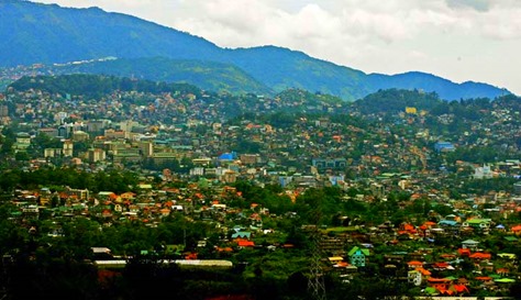
According to this World War II vet, Baguio was their final destination as they forced the Japanese out of the Philippines but thankfully the war ended before reaching this large city. I can only imagine what impact war would have on this city and how much rebuilding there has been during the past 75 years.

BAGUIO AT 104. Baguio, which has a land area of 57 square-kilometers and designed for 25,000 people, is now home to close to 400,000 people and has grown to become one of the highly urbanized cities in the country. Baguio celebrates its 104th Charter Day anniversary on September 1. 010913_baguio_05_comanda.jpg.

After listening to descriptions of the terrain the military traveled over it’s nice to be able to view photos taken to get a better idea how much the terrain changed going from flatter, wet areas to mountains. It’s also nice to see that these beautiful places have been rebuilt from the ravages of war. Time to return to Minneapolis to the snow and cold.

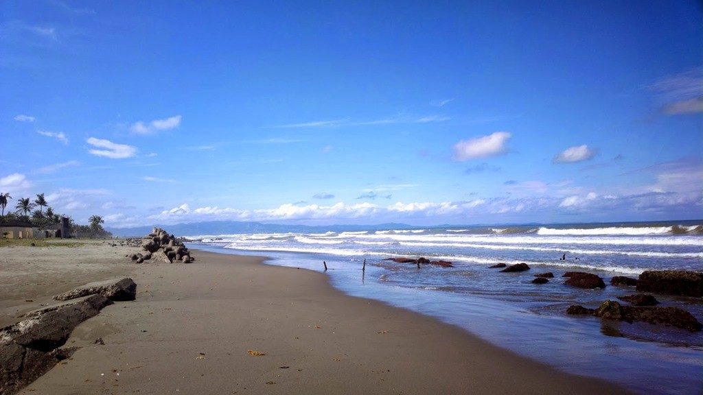
Bonuan Beach

Ice and Snow

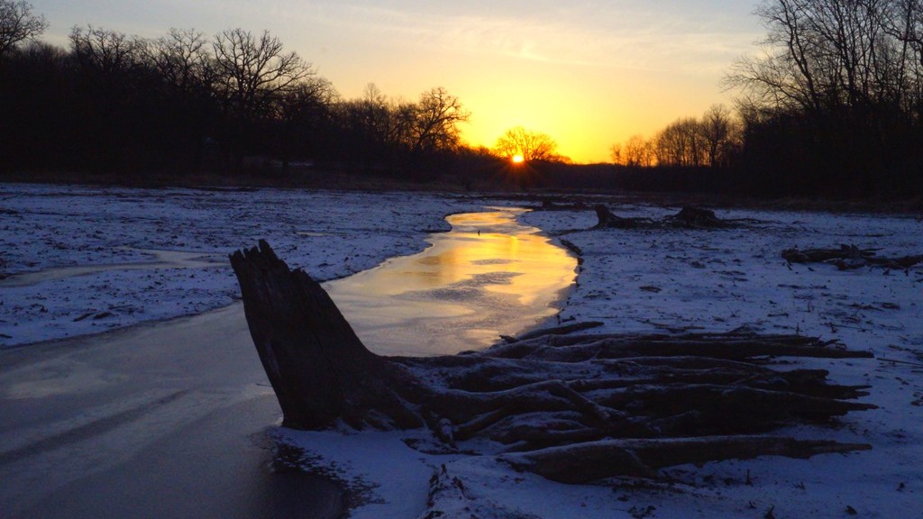
After seeing bare ground for several weeks we got a light dusting of snow and cold temperatures re-freezing soft ground so I wanted to get out and enjoy a winter sunrise. After watching the sunrise my goal was to photograph Eagles, which have been courting lately resulting in some spectacular flight displays. Unfortunately I did not see any of these acrobatics on this morning but I did see some interesting natural art.

Time Frozen

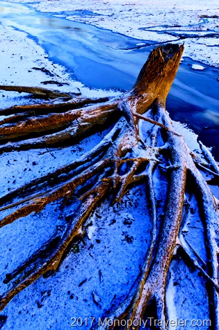
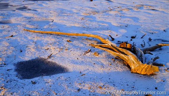
There were several stumps with roots protruding from the ground covered in a light coating of snow making for fun and interesting patterns. I liked how the old tree stump contrasted with the snow and frozen creek next to it. It made me think of a landscape lost in time being frozen from an earlier millennium to be recently discovered. This is partially true as the area I was in has been covered in water for many years and recently has been drained exposing it’s true character from before it was damned and flooded. Another frozen tree reminded me of a Mammoth tusk further reinforcing these pre-historic thoughts. While my morning excursion was entertaining it was back to 2017 a few hours later.

A Mammoth's Frozen Tusk?

Signs of Spring

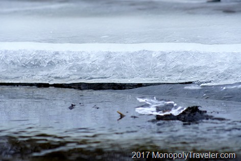
It seems way to early but the signs of spring continue to increase with each warming day. Every day that I’m fortunate to be able to go out into nearby woods I see spring making its way more and more. By the end of February the days have gotten noticably longer and temperatures are increasing. Most of our snow is gone and the ice on lakes and rivers disappears a little each week bringing open water and a place for migrating ducks to land.

Ice is melting away

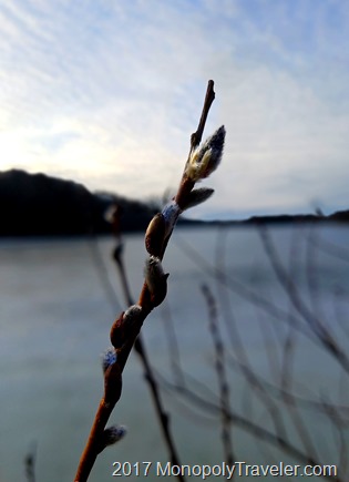
One day last week I was out hiking when little white specs caught my eye. On closer inspection it was pussy willows beginning to emerge. This is about 2 to 3 weeks earlier than last year. I keep hoping for a late season snowstorm or two but with each passing week that potential gets further and further away. I know many people are happy about the warm days and they do make every day life easier. Still a reminder of living in Minnesota in early March would be nice.

Pussywillows emerging

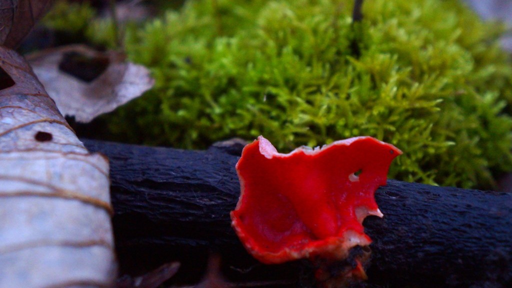
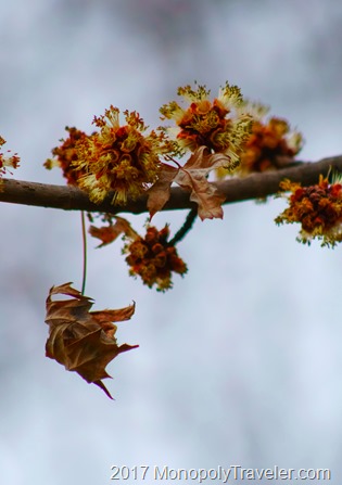
Tucked away out of sight there is the occasion sign of spring such as Silver Maple trees beginning to bloom without attracting much attention along with brightly colored mushrooms sprouting from a damp log and moss becoming a lush green almost like a soft, thick carpet covering up a decomposing log. Animals are also beginning their spring rituals as they come out of hibernation while others prepare nests or dens for another year of new creatures to enter the world.
Birds are migrating North

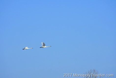
In areas where the water is no longer covered by sheets of ice I see ducks, geese, and swans bobbing up and down as they find nourishment under the surface. This is just the beginning and March has a way of teasing spring weather and then reversing with a blast of winter stealing the motivation to venture outside until it all passes sometime in April. For now it’s fun to witness each new change as the landscape emerges from a long winter nap.

Silver Maple beginning to bloom

Climbing for Air …. American Lung Association

For a number of years now (10 to be exact) the American Lung Association has organized and event called Climb for Air. I’ve heard about it for a couple of years and thought it was cool that they would be able to use one of the taller buildings in downtown Minneapolis for it. This is a fundraising event ending with each person climbing stairs for 31 stories. When I first heard that I questioned if I would be able to accomplish such a feat.

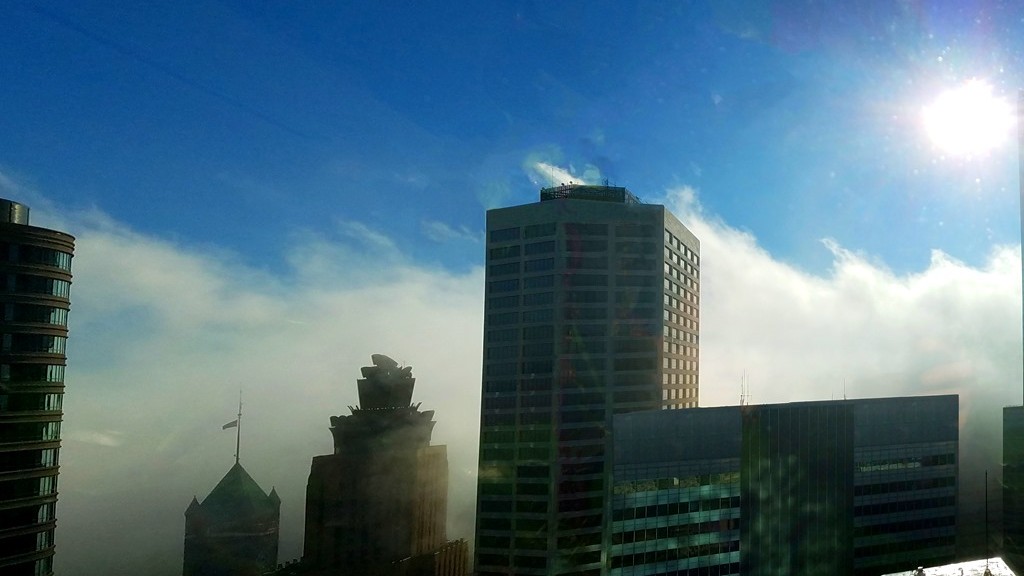
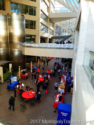
Climb for Air event in Minneapolis

On Friday I heard of this event happening this year again and began to ponder if I should attempt climbing stairs for 31 floors to reach the top of one of the skyscrapers in Minneapolis. I’ve not been working on getting into trail condition as much as I should be so physically I’m not as prepared. Researching further 31 stories equates to about 680 steps. Once I saw that then there was little doubt if I could do this or not. There have been caves explored where I’ve climbed half that many stairs so I should be able to do this although this is just climbing up, up, up with limited breaks like a cave would have. After going back and forth I decided it would be a good new life experience for me as well as a worthwhile organization to support in honor of an uncle I lost due to lung cancer and signed up.
Over half way done

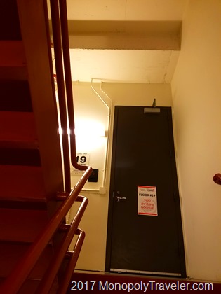
The next day I arrived at US Bank Plaza to begin my climb. Average climb times are listed as 10-15 minutes so I figured I should be able to do it 20 minutes taking my time as needed. They attached tracking tags to one of your shoes to keep track of how long it takes to climb and off I went stair after stair. I remember reaching the second floor and then the third. Before I realized it I was at the 16th floor – over half way. I stopped for a quick water break on the next floor and then there was the 19th floor. My legs were beginning to feel it a little but more so I was breathing pretty hard by this time.

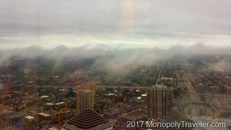
From the top

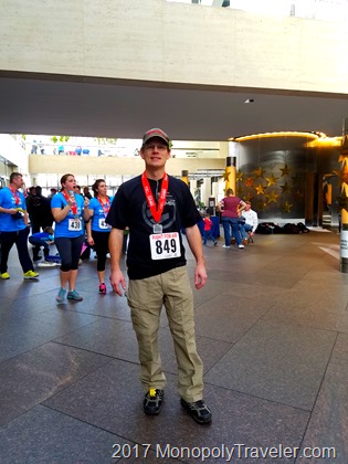
Reaching the 22nd floor I tried to slow down a little for the next flight, took a few seconds to stretch tightening muscles a few times until reaching the 29th floor and decided a strong finish was how I wanted to end the climb. During this time I was thinking back to last summer’s climb of Long’s Peak and wondering how many steps I climbed for that. A few more than this I’m sure. Once getting to the top floor I was a little shocked it was done and kept walking back and forth on that floor to cool down while grabbing more water. After a few minutes I realized it took just over 6 minutes to climb 31 stories. Wow was it really that quick? It was an enjoyable experience and one I felt good doing. Marathons and bike races aren’t of much interest to me but this fits in well for me.

After completing the climb

A Snowmobiling Adventure

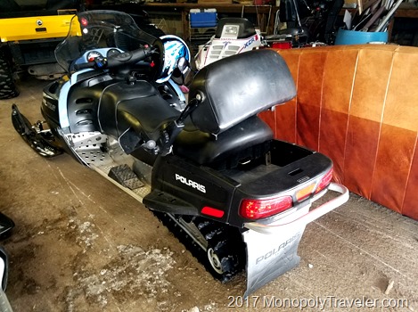
Last winter I had so much fun snowmobiling in Northern Wisconsin that I couldn’t wait to do it again so this year the plan was to go earlier almost guaranteeing enough cold and snow to fly across the wintery landscape. As luck would have it the upper Midwest has been relatively warm with precipitation falling as rain instead of snow once again bringing questions of trail quality and snow cover. As the planned day arrived a fresh coat of snow fell bringing many of the trails into great condition for snowmobiling. Let the fun begin!

Getting ready to hit the trails

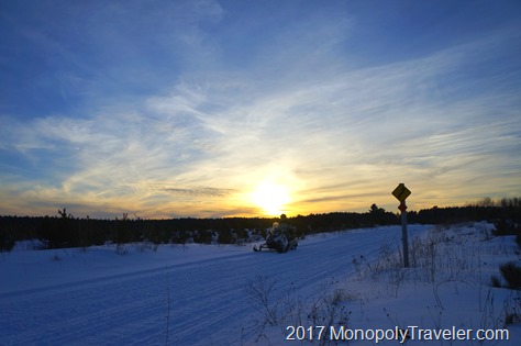
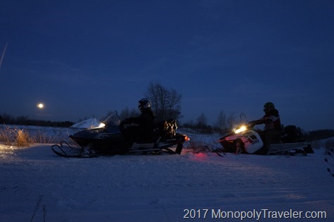
After a brief check of the snowmobile it was time to hit the trails for a day of adventure through the forests of the North. Thankfully it was a warm winter day under a bright blue sky dulled only by a few wispy, white clouds making for perfect weather to fly on top of the snow covered Earth. As the day progressed miles kept flying by bringing different beautiful landscapes around the next corner.  Portions of the trail glide through dense forests while others are wide open fields with the occasional lake added in to keep the picture ahead changing.

Cruising along on the snowmobile trails

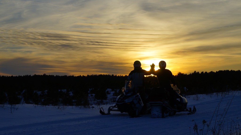
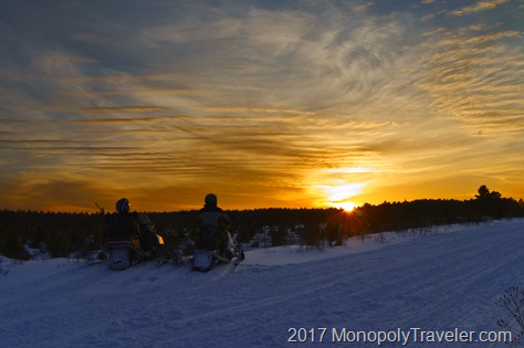
As sunset approached the mileage was reading almost 150 miles clocked during the daylight hours. It was definitely fun amassing those miles through every turn and hill set before us including one that was a little sharper than expected causing a sled to cruise through the corner almost flipping over and running over a few small trees before stopping to allow damage assessment. Fortunately there was none except maybe to a little tree or two which had to be removed before the snowmobile would move under its own power once again.

Taking a few moments to watch the sun set

With the sun now down below the horizon it was off towards our final destination of the day ending at a hotel for a few hours of rest before returning the snowmobiles for the weekend. As the trees flew by the sky continued to amaze with beautiful colors changing from yellows and oranges to reds and pinks distracting from the trail in front.  Fighting through that distraction came yet another one with a full moon rising above the horizon bringing with it a reminder that there was suppose to be a partial lunar eclipse but probably not visible at this Northern Wisconsin location. As daylight turned to darkness this partial eclipse shown across the face of the moon continuing the challenge of focusing on the trail ahead.

Watching a full moon rise partially eclipsed

A quick stop to refuel and off again into the darkness of trees reaching over snow covered trails meandering up and down and side to side until my snowmobile continually slowed down even though the throttle was pushed until it stopped and a small pop came from under the hood. Now what do we do here with nothing but trees as far as we could see. After a half hour of trying to get it restarted without success we decided our current adventure was complete and unknowingly a new one was about to begin.

Thankfully our second snowmobile was a two person sled so we moved the dead snowmobile off of the trail and headed for the nearest town to hopefully secure a place to stay and figure out what to do with the broken one. As the night progressed we learned how to disable the drive on snowmobiles and how to tow them all thanks to Youtuber’s. Grabbing a tow rope we headed back to the disabled snowmobile, disengaged it’s drive belt and towed it back to the rental place over several hours in complete darkness with only the flashlight of our phones to see what we were doing as the moon was now covered by a layer of clouds. Once completed we fell, exhausted into our beds for the night ending this Northern Wisconsin adventure.

Exploring the Grand Canyon

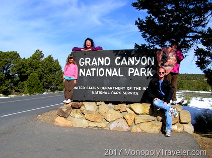
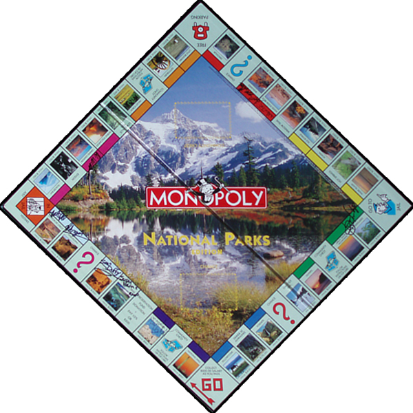
On our second Monopoly Adventure we traveled to the Southwestern United States to visit Petroglyph, Mesa Verde, Canyon de Chelly, and the Grand Canyon National Park. Grand Canyon was the last one of this trip arriving here the third week of March. As we first began planning this trip my expectation was that mid to late March would be great time to visit this area of the country as it is Arizona and should be a warm retreat from winter. Surprisingly that was a misconception as we saw snow in every park we visited.

March '10 142

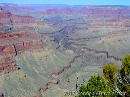
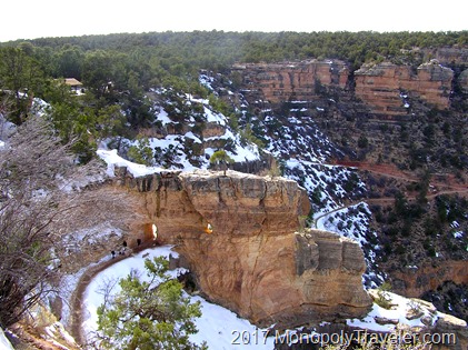
Nearing the Grand Canyon you could already see portions of this formation before ever entering the park but not to the scale it is inside of Grand Canyon National Park. We arrived at the visitor center, parked the car and headed for our first view of this enormous canyon. Most of us have seen pictures of this place but those just cannot display the magnitude of the Grand Canyon. You can’t see how far down it is from the rim to the River or how wide it is from the South Rim to the North Rim.

The Colorado River running through the Grand Canyon

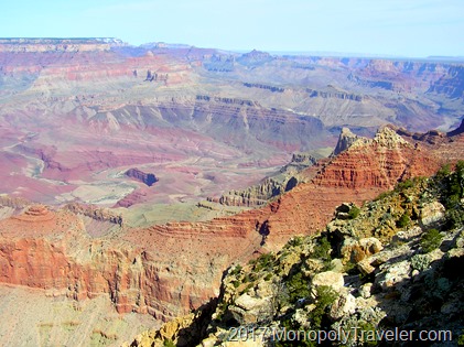
Once you begin to grasp just how large this place is, the details of different layers of rock and plants growing on top of those rocks creating a green contrast to the red, orange, brown, and beige rock layers making up this canyon strike you. There are numerous layers of different colors and textures showing each natural event combining to create this Grand Canyon. Definitely a beautiful sight! Even from the top of the rim you can hear the Colorado River crashing over boulders creating the large white water rapids so many like to raft over. Amazing how far that sound travels.

Looking out at the Grand Canyon from the South Rim

Even though there was snow on the ground in places and it was cooler than we anticipated it still was a good time of year to visit as there were considerably fewer people allowing us to get around faster and see more of the canyon. There are several trails throughout the Grand Canyon which would have been interesting to explore but we had already traveled on miles of trails while exploring the South Rim and didn’t feel up to climbing down a portion of the canyon and then back up. This was before we had done any real hiking to know what our abilities are. If we visited the Grand Canyon now I would definitely take off on this trail to see these incredible rock layers close up. Maybe some day I will because I would also like to camp near Phantom Ranch and see the Colorado River up close.

The beginning of the Bright Angel Trail.

Preparing for Isle Royale

In my previous post on ‘Planning for 2017’ I wrote briefly on going back to Isle Royale. I find this desire to backpack here very humorous because the last time I did this with the rest of my family I was adamant that backpacking was not for me and I would never do it again. I was glad to have experienced it once but that was enough. And now I can’t wait to return and hike further and for more days. What happened?

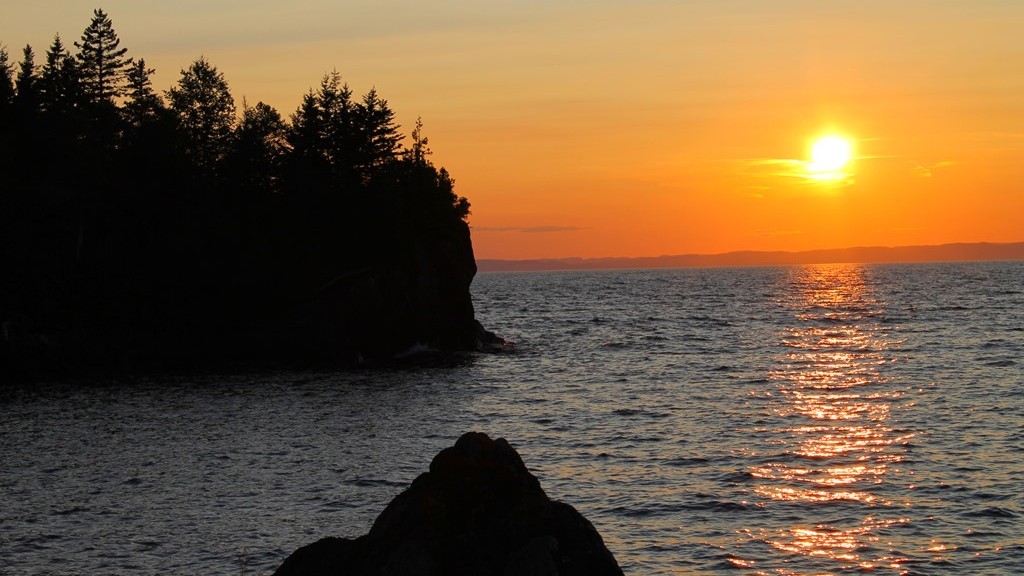
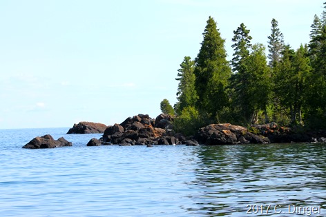
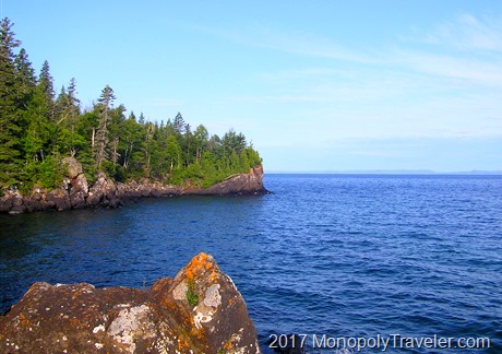
One of the shores of Isle Royal

Either I’ve gone crazy or have gained more knowledge on backpacking. First lets figure out why there was no desire to backpack again. Most of this came from hiking with a lot of extra weight on my back causing pain in my shoulders and back every time my pack was hoisted back onto my shoulders. The second reason is that sleeping was cold and uncomfortable leaving me tired much of the time longing for a good nights sleep. Other than that, I enjoyed the time on the island.

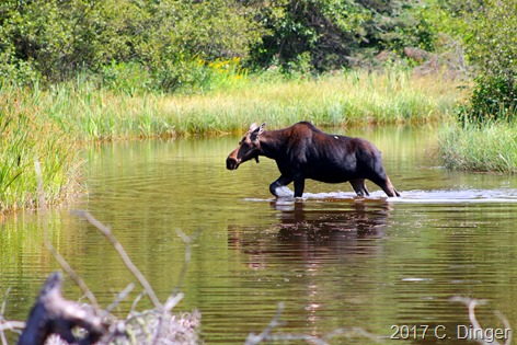
Getting up close to a moose can be very exciting if done safely for the animal and the viewer.

So what’s different now? A number of things have changed my opinion of backpacking bringing on an excitement to do it again. First is all of the information and experience I’ve gained since then increasing the confidence to be able to hike with extra weight and actually enjoy it. I now have a good idea of what is involved in preparing for an extended hike which includes hiking locally with a heavy backpack for a couple of miles each time along with biking a couple of days a week for several miles putting me in better shape. Also I have a nicer camera that I really enjoy using and Isle Royale is a great place for beautiful photographs adding to my excitement to be there.

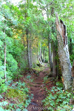
A portion of the beautiful trails on Isle Royale

If I do this right the training backpack will be heavier than my actual pack making it seem like no big deal to carry all day long. Add to this increased muscle strength to be able to carry the weight while working around rocks and tree roots, using trekking poles to keep better balance and weight distribution, and bringing fewer items reducing my overall back pack weight should combine to make a fun hiking experience.

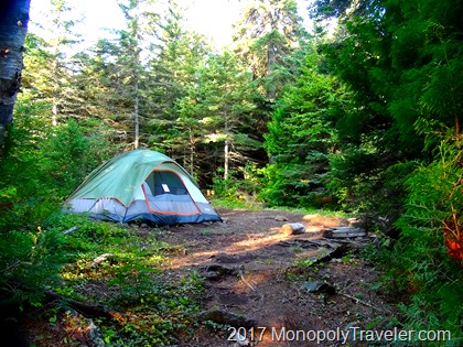
Sleeping in the solitude of Isle Royale can be difficult to get use to.

A few weeks after returning from Isle Royale the last time I began to go through our supplies and determined how I would pack differently another time to reduce the weight I was carrying. It was amazing how much different things felt for each pound we removed either in food or water weight making the pack lighter. We definitely brought too much food last time and heavy food at that. That is an easy place to reduce weight by several pounds. Also, sleeping gear last time was heavy lugging small air mattresses, cotton sheets, and blankets. This time a sleeping bag, light sleeping pad, and maybe a small pillow which should eliminate more weight. My only concern is increased weight in camera equipment so I will have to watch that part. As far as sleeping goes, I know there won’t be great sleep so I’m prepared for that so it should be less of a concern.

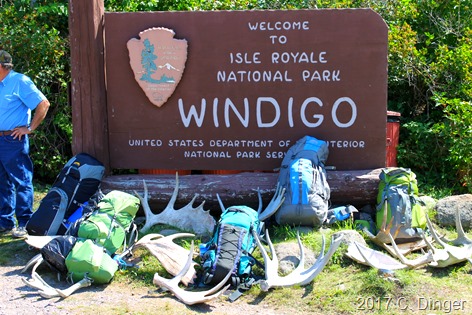
One of the Entrance Stations of Isle Royale

Training for hiking in the Rocky Mountains in 2016 and how successful it was and I was at completing a couple of 10 mile + hikes at higher elevations has proven to me that I can adequately train for this trip and go the distance with my backpack. In fact, at times I would even forget I was carrying my backpack loaded with clothing, food, and water all as a result of training before hand. The pack will be heavier this time as it will include more food, a tent, sleeping gear, and probably more clothing so I understand what I need to do to prepare. I’m so looking forward to this but there is much to do before then.

Planning for 2017

This is a year I’m certainly looking forward to as there are plenty of activities entering our calendar but also am getting a little concerned there is too much to accomplish to enjoy all I would like to. Last year’s goals were mostly accomplished with our travels to National Parks in Texas and Arkansas, taking thousands of pictures which I’m certain has improved my photography skills but still more to do, fixing broken portions of this website, as well as making it to Rocky Mountain National Park to hike Flattop Mountain and Long’s Peak.

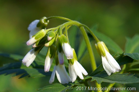
Spring blooms

What does that leave for 2017? Plenty! How about starting with our Monopoly goals of visiting Dinosaur, Little Bighorn, and Yellowstone National Parks? Yellowstone has been a place I’ve wanted to visit for a long time as it’s one of the marquee parks in the United States. The more I read about Dinosaur the more interested I get in exploring such a place tucked in Colorado’s northwest corner revealing pre-historic fossils among a beautiful landscape. What’s not to look forward to here? And Little Bighorn, a place among US history commonly known as Custer’s last stand. I get chills just writing that as it reminds me of Gettysburg and all those lost there.

Isle Royale National Park

There’s also a return trip to Isle Royale National Park for a more intense backpacking trip in the works. Our family took on an adventure here in 2012 at which time I insisted I was done backpacking and would never go back to this island. Well, a few months after my muscles and joints recovered I began to think about improvements I could do to enjoy it more but still never really seriously thought about another trip here. The most difficult part was carrying such a heavy backpack. Last summers adventure to Long’s Peak convinced me I could backpack and enjoy it. After almost despising an extended hike I’m now really excited about returning to the island and taking in more of what it has to offer. What’s different you ask? First I’m confident in my abilities after hiking 14 miles at higher altitudes and really want to know how much more I can enjoy it at elevations I can breath more easily at as well as I know how to prepare and train for an extended hike.

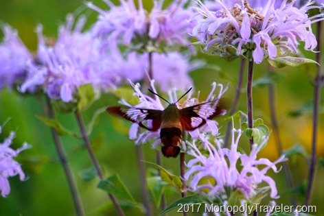
Clear winged moth on a warm summer night

Add in to this landscaping projects and a small remodeling project at my house, a camping trip, a snowmobiling excursion, and celebrating 20 years of marriage to my wife and this year will fly by I’m sure. I hope 2017 becomes a great year for you as well!

Ice Formations of a Waterfall

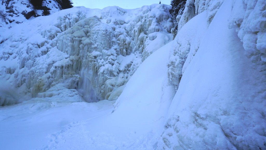
While exploring Tettegouche State Park on New Year’s weekend we hiked up to High Falls and became amazed at the many different ice formations surrounding this water fall. Just looking at this amazing water fall almost completely frozen is beautiful especially set in the winter wonderland of Northern Minnesota however closer examination of the different pieces that make up this scene makes it even more incredible.

_DSC5657

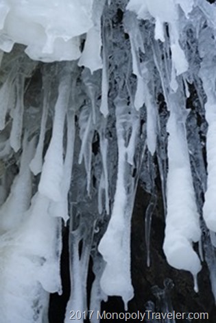
There are different shapes, colors, and sizes of the many different icicles near the falls. It’s interesting to imagine how these were formed such as in the photo above. Water flowing over the falls has a darker color so how were these created clear at first and then coated in snow or frost? Guessing at the answer I would say these were formed during a recent rain event which was followed colder temperatures and then the spray from the water fall coated them.

_DSC5700

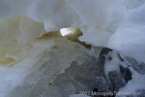
This next picture has multiple colors of ice with a chimney allowing light from the sky to illuminate this natural sculpture. The darker ice which is tinted must have been created from water flowing over the falls but it could also be from water seeping through rocks picking up tannins and minerals causing the water to be tinted and freezing with dripping water from the recent rainfall. What was really interesting to me was the chimney. How was this created? Was there ice there originally that fell creating a hole or was the natural opening wide enough that it never had water running through it?

_DSC5679

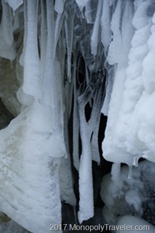
While exploring further there were these icicles made from water freezing making two different icicles that merged together leaving open space between them for a portion. Also I found the pieces of horizontal ice attached to the vertical icicles quite interesting.

_DSC5676

This next picture is showing a zoomed out version of the vertical and horizontal icicles highlighting the horizontal ice. How do icicles get created horizontally? My best guess is going back in time to imagine these being formed over hours, days, and weeks. Initially the clear icicles were made from rainfall freezing. Next mist from the running water fall was strongly blowing towards these frozen icicles freezing almost on contact. So these could be made as a result of heavy rains mixed with strong winds after the rainfall but before the falls froze creating unique ice formations.

_DSC5685

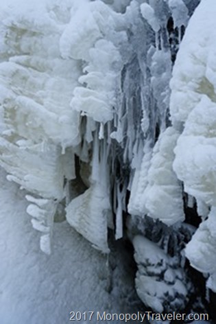
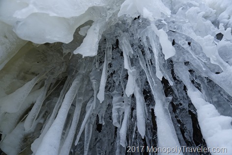
This is one of my favorite perspectives looking up at numerous icicles appearing as they are going to fall right on top of you. On the day of this photo these were very secure so no concerns which was confirmed as we broke off one and it did not separate from the rock above easily. In this last picture below I found several different ice formations appearing as a stairway up the falls. Even though it looks like stairs I would never climb it without proper equipment knowing this is a water fall and water is still running underneath this ice making it more unpredictable.

Ice Steps going up the waterfall

Spur of the Moment New Years Trip

As I was finishing my day of work on New Years Eve day I began to look to the rest of the holiday weekend and wondered how to best celebrate the end of 2016 and the beginning of 2017. One of the thoughts that kept running through my mind was a desire to enjoy winter. For the last couple of years I’ve grabbed the camera on New Years Day and went hiking at nearby parks. Unfortunately there wasn’t much in the way of good snow this year so began to explore different options for a winter wonderland to start another year.

The last sunset of 2016

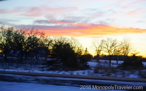
Quickly I arrived at the idea of going to the North Shore of Minnesota. That should be far enough to find a snow covered landscape. While driving home I called the rest of the family and ran the idea past them to see if there was any interest beyond my own. Since it was very spontaneous it took a few moments to explain my ideas. Taking some time to digest this they soon determined it could be fun and phone calls were quickly made to take care of responsibilities at home for the next 24 hours as well as secure a place to stay.  Once I returned home from my last day of work for the year we all packed and gathered winter gear, loaded the car and hit the road for a short 2 hour drive to Duluth taking in the last sunset of 2016 along the way.

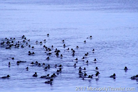
Enjoying hundreds of Goldeneye ducks

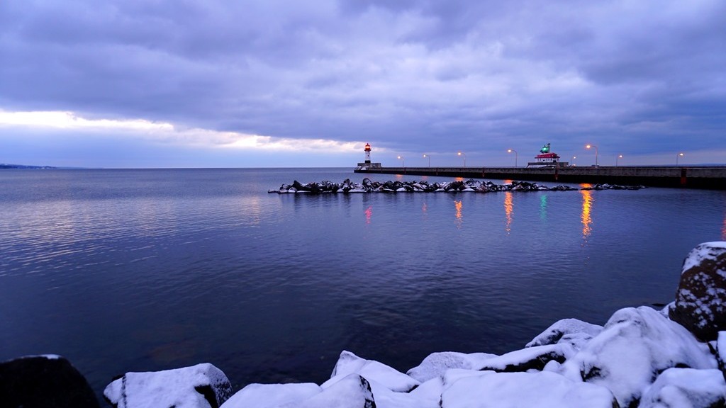
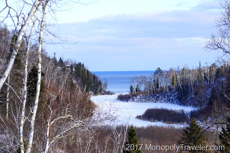
Our arrival in Duluth was met with slightly icy roads as they had just received some fresh snow that morning and a nighttime view of Lake Superior which remained mostly ice free to spite some very cold temperatures the week before. We quickly dropped off our stuff and headed for a favorite place to eat while in Duluth – Old Chicago. After celebrating the change of years it was off to bed. The next morning I awoke ahead of everyone else so decided I should grab the camera and hope for a beautiful sunrise over Lake Superior. Unfortunately, as you can see from the top photo, there was very little sun but there still was a great view as light increased on the morning. There was about a half dozen people out near the canal trying to do the same thing I was, photograph the first sunrise of 2017!

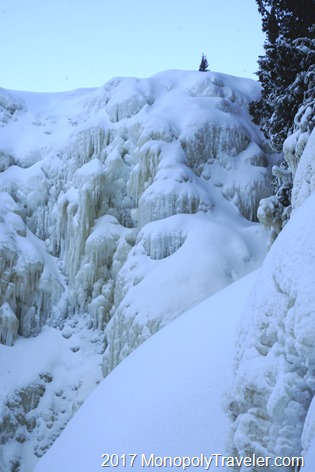
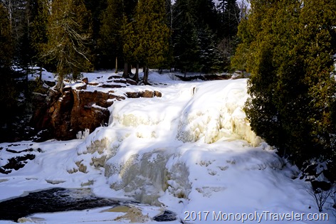
The upper frozen falls of Gooseberry Falls State Park

While the sun failed to make a bright, fiery appearance, several hundred Common Goldeneye ducks swam in the open waters of the Duluth Canal for anyone willing to be up early to enjoy. I’ve never seen this type of duck before so it was a nice treat to watch them for awhile before heading back to the room to gather up the rest of the family and continue north to Gooseberry Falls State Park. A short time later we pulled into the winter wonderland I was hoping for to bring in the new year. Surprisingly most of the waterfalls and river at this park were frozen over making for some beautiful natural ice sculptures covered in fluffy white snow. Not very many people take the time to explore these frozen falls so it was a nice treat to see them in an an unusual way.

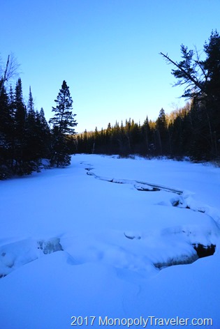
The river is frozen over while Lake Superior remains open in the distance

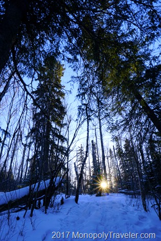
After a couple of hours playing around in the snow and ice of Gooseberry we wanted to continue further north towards Tettegouche State Park. Fortunately this is not a long drive from where we were giving most of the afternoon at one of my favorite parks on the North Shore. Arriving a little while later we got out of the car, put on our winter gear – boots, hats, gloves, snow pants and began our excursion to the high falls of Tettegouche. Along this 1.5 mile trail we became enthralled with this winter landscape enveloping us all around. So peaceful and very few people around giving most of this quiet winter scene exclusively to us. I kept waiting to hear a wolf howl in the distance confirming our picture book arrival to Northern Minnesota but no such thing happened.

The low sun in the horizon shining through the tall trees

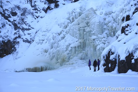
Plowing through the snow we arrived at our destination to find that this river and waterfall were also mostly frozen over allowing very different viewing perspectives than I’ve every witnessed before. Now we could walk almost right up to the falls and feel just how large it actually is while listening to the water run under thick walls of ice making us less certain about standing on what would be water during much of the year. A very serene moment looking over this tall wall of ice surrounded by mostly undisturbed snow.

Exploring the High Falls of Tettegouche State Park

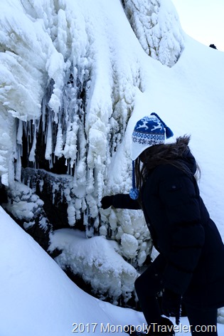
As we examined the great ice wall all of the different formations started to jump out. Different clusters of icicles joined together creating an ice filled curtain concealing fast flowing water behind which was only visible in small iceless windows. Closer examination of the frozen water surrounding these falls showed how unique each one is. There were different colors, some were opaque while others almost crystal clear only interrupted by air bubbles frozen inside combined with various shapes. Many were frost covered while others where topped with snow. In other areas the ice formations looked as though they were creating a stairway to the top of the water falls although I would never climb it without proper equipment for fear of slipping into surrounding stone ledges.

Looking at some of the cool ice formations created from the water falls

As daylight began to soften we decided to take in the last bit of sunlight to return to the parking lot to avoid being stranded on icy staircases in the darkness. As the sun dipped lower into the horizon we could feel the cold seeping into our heavy layers of winter protection. Fortunately we had enough hand warmers to accommodate until we made it back to the warmth of the visitors center and our car for the journey back home.

Only a tiny portion of the river is still running free in Northern Minnesota